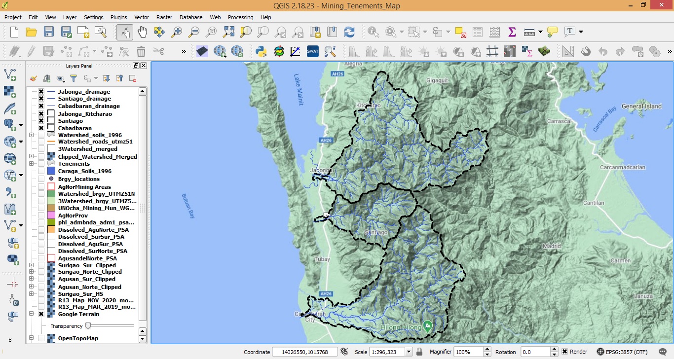
Geographic Information System (GIS) is a system that allows any person or an organization to analyze, store and visualize data related to geographical location. This data can be anything, for example, longitude or latitude, spreadsheets containing address data points, satellite imageries and information related to any admin boundary distributions. This data is known as spatial data and databases used to store these kinds of data is called a geospatial database. GIS is not just limited to the study of spatial data but it also comprises of development, data analysis, editing data in maps and even practicing operations – logistics management associated with it.
At the end of this course, students are expected to:
a. Visualize, interpret and apply geospatial methods in forest and other natural resources
b. Encode, identify, analyze, interpret and validate thematic data and information
c. Able to propose decision options for land use (LU) planning, resource allocation, policy decisions, etc.

- Teacher: Roger Sarmiento
