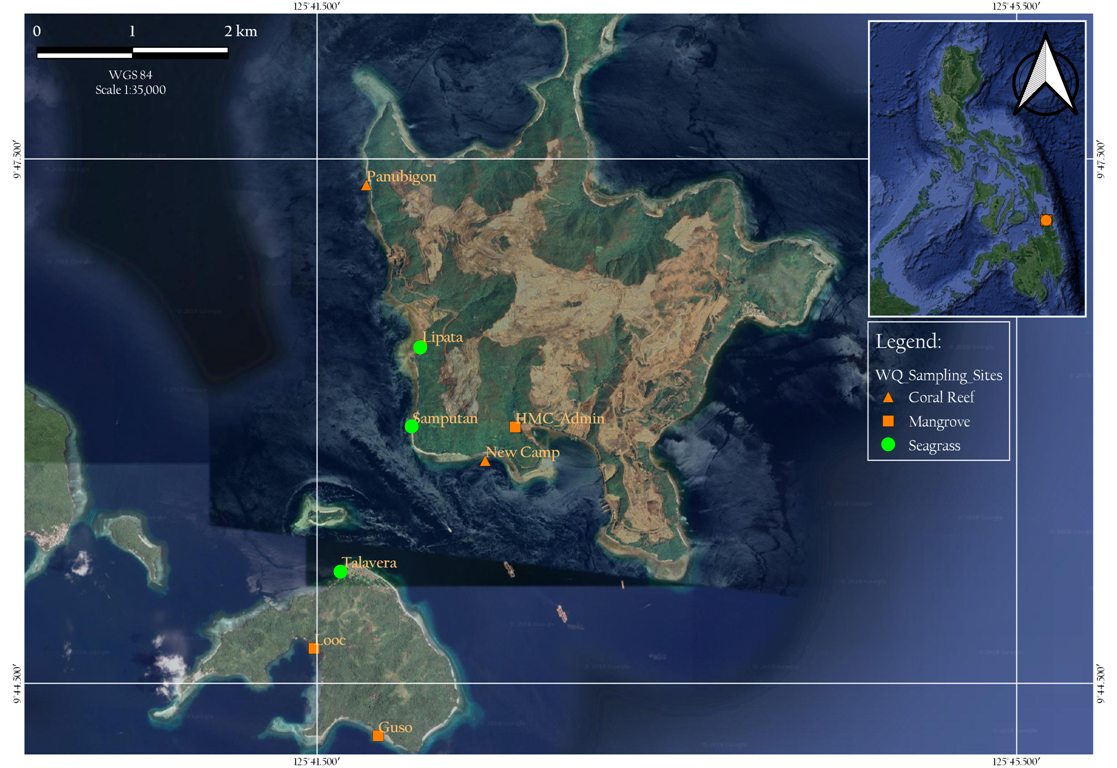
A practical course designed to equip the forestry students with the basics of geoinformatics. They will be exposed to spatial data processing, producing high quality maps or cartographic representation of the geographical space and conduct analysis. All these method will be performed in geographic information system (GIS) which constitute the most of the course with the use of an open source software. The topics are grouped into two parts and are arranged with the anticipation to support the stages or progress of a major requirement which is its application to environment or forestry concern. The first set of topics deals with geospatial representation and shall enable the students to obtain the skills in characterizing spatial objects and phenomena, digitizing, understanding the concept of spatial relationship, coordinate systems and projection, vector and raster data, spatial data acquisition, storage, data modelling to create geospatial database, and to query and analyze data. The second set of topics is devoted to the methods of spatial analysis by which students will understand several functions like spatial auto correlation, the construction of contour lines and isovalue curves, interpolation, digital elevation models (DEM), overlay and interaction techniques and the creation of high quality maps. The interactive web-mapping and 3D representations area also worth exploring.
After completion of the course, the student must be able to:
Characterize spatial objects and phenomena with respect to its nature and position in space;
Know the various means of acquiring spatial data;
Design a groundtruthing field note used to record data from GPS surveys;
Perform data storage and editing;
Discuss the processes of establishing geospatial database;
Quantify the spatial properties of discrete variables;
Understand ways of working with continuous variables;
Evaluate the interaction between different types of geodata;
Create high quality maps; and
Explore other means of spatial representation

- Teacher: Richie Lador
